
Overview
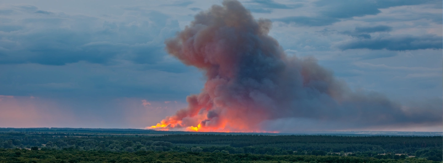
After a forest fire is detected, the key challenge is no longer “if there is a fire”, but “where exactly is it”. Traditional methods rely on ranger reports, rough visual estimation from towers, or temporary drone flights, which can be slow and imprecise in complex mountains and valleys. A dedicated fire point locating solution converts multi-source observations into accurate map positions so commanders can plan routes, allocate forces, and make decisions based on reliable coordinates instead of guesswork.
Recommended Solutions
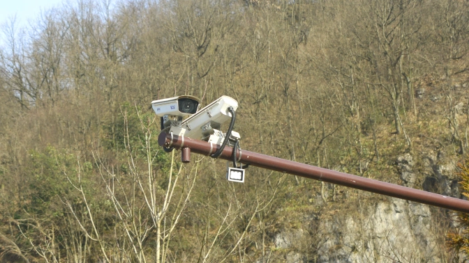
The solution fuses three information sources—thermal video, drones, and ranger reports—to locate fire points quickly and accurately. Dual thermal imaging cameras on towers patrol forest areas automatically. An embedded algorithm uses tower altitude, tower height, PTZ horizontal and pitch angles, and the fire point’s position in the image to triangulate its latitude and longitude, then plots the result directly on the GIS map. Drones that discover smoke or flames upload GPS-tagged images and video for remote verification and supplementary positioning. Rangers can also report fires from the field through a mobile app, sending coordinates and photos that appear in the same command interface. By cross-checking these sources, commanders obtain precise fire point locations and evolution trends, enabling targeted deployment of teams and equipment, safer access routes, and more efficient fire suppression.
Application Topology & Advantages
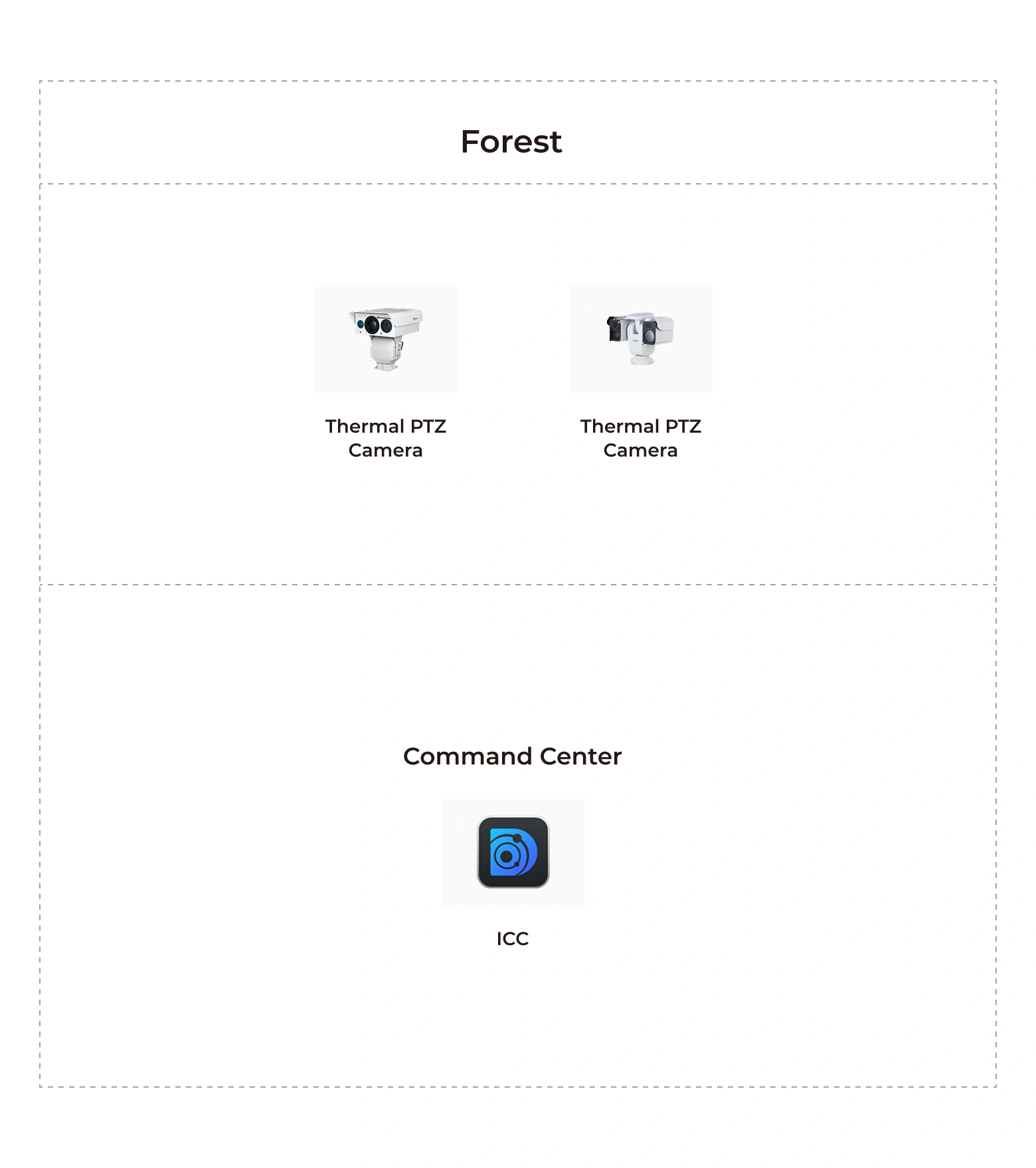
- Fusion of thermal video, drones, and ranger reports for precise location
- Fast triangulation of fire coordinates on the GIS map